
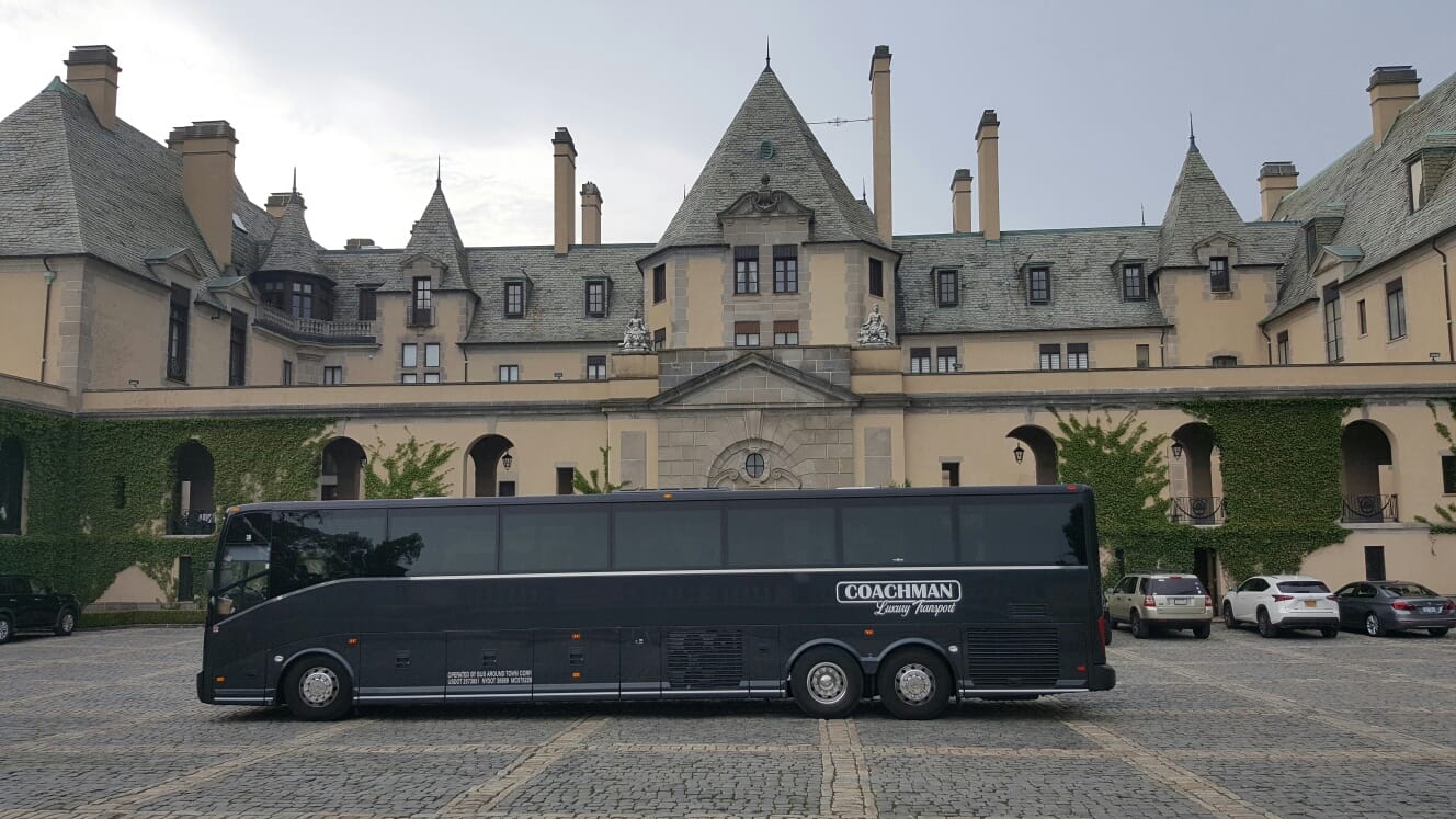

Bus Routes in the Financial District are most useful when you know which street corridor you actually need. The M15-SBS and M15 handle the east side, the M20 and M22 are strong around Battery Park City, the M55 works for Broadway-to-Midtown trips, and several SIM express buses connect Lower Manhattan directly with Staten Island.
This guide takes the perspective of a New York city-guide editor and is grounded in current MTA timetables, Bus Time data, and Lower Manhattan stop patterns. The focus is practical: which corridor a bus follows, where it leaves you, and when taking the subway or simply walking makes more sense.
Bus Routes in the Financial District make more sense when you think in corridors rather than route numbers. Here is the quick version of the eight routes covered below.
| Route | Financial District reach | Rough cost | Best for |
|---|---|---|---|
| M15-SBS | Water Street, South Ferry | Standard local/SBS fare | Fast East Side trips |
| M15 | Water Street, South Ferry | Standard local fare | Shorter East Side trips |
| M9 | Fulton/Pearl area, Park Row, Battery Park City | Standard local fare | Seaport, Civic Center, Battery Park City |
| M22 | Chambers Street, Battery Park City | Standard local fare | East-west Lower Manhattan trips |
| M20 | Battery Park City, South Ferry | Standard local fare | West Side and Battery Park City |
| M55 | Broadway, Rector Street, South Ferry | Standard local fare | SoHo, Midtown, Broadway corridor |
| SIM1C | Broadway/Church-Trinity corridor | Higher express fare | Staten Island and longer Manhattan trips |
| SIM4C | Broadway/Church-Trinity corridor | Higher express fare | Staten Island via Richmond Avenue corridor |
The six Manhattan routes above appear in the MTA’s current Manhattan network, while the SIM services use Lower Manhattan stops as part of longer Staten Island-Manhattan express patterns. Route details and temporary stop changes can shift with construction and special events.
Bus Routes in the Financial District for the East Side
If your trip follows the east side of Manhattan, the M15 family is usually the first pair worth checking. The MTA’s Manhattan bus schedule hub lists both the regular M15 and M15-SBS, but they shouldn’t be treated as interchangeable because their stopping patterns differ.
1. M15-SBS
The M15-SBS is the strongest of the Bus Routes in the Financial District when you want to move north from the Water Street side without crawling through every local stop. It runs between South Ferry and East Harlem using the First Avenue and Second Avenue corridor, with downtown stops including Water Street at Pine Street and Pearl Street near Beekman Street.
That makes it useful for workers around Wall Street, the Seaport side of the neighborhood, and anyone continuing toward the Lower East Side or farther uptown. Around lunchtime, the Water Street corridor can feel much busier than the map suggests because office traffic and delivery activity concentrate on the same few blocks.
The trade-off is simple: SBS is less forgiving if you actually need a local stop that it skips. In that situation, the regular M15 may leave you closer. The service uses the standard local/SBS fare rather than an express-bus fare. South Ferry is also an accessible subway connection with an elevator entrance at State and Whitehall Streets, useful for riders who want a step-free transfer.
2. M15
The regular M15 covers the same broad East Harlem-to-South Ferry corridor but makes more local stops than its SBS partner. In Lower Manhattan, current MTA information shows the route reaching South Ferry and serving the Water Street side of the Financial District.
Choose it when your destination sits between major SBS stops or when saving a few blocks of walking matters more than saving a few minutes on the bus. That difference becomes noticeable in February rain, summer heat, or when you’re carrying shopping bags. A theoretically faster service isn’t faster for you if it leaves you six blocks from the door.
The common mistake is boarding whichever M15 arrives first. Look at the destination display and whether it says SBS before you tap. For someone using a wheelchair, the bus can also be simpler than building the trip around a subway entrance: New York City Transit buses use accessible boarding equipment, though conditions at individual sidewalk stops can still affect how easy boarding feels.
For official help, use 911 for an immediate emergency and 311 for New York City services or complaints outside the MTA’s control. For a missing bus, temporary stop, delay, or detour, check MTA Bus Time or the MTA’s service information rather than relying on an old screenshot of a schedule; Bus Time provides route, stop, and vehicle information.
Bus Routes in the Financial District for Battery Park City and Chambers Street
The western edge of Lower Manhattan works differently from Water Street. Battery Park City sits far enough west that taking the wrong north-south bus can leave you with a longer walk than expected, which is why the M9 and M22 matter despite both being relatively short-distance local options.
At the time of writing in August 2026, the MTA lists a $3 fare for local, limited, rush, and Select Bus Service rides, while express buses cost $7.25. Those figures are volatile, so confirm them on the MTA’s current subway and bus fare page before budgeting repeated trips. OMNY is the tap-to-pay system you’ll see on buses and subway turnstiles.
3. M9
The M9 is one of the more useful Bus Routes in the Financial District when your trip crosses between Battery Park City, the Civic Center, and the eastern side of Lower Manhattan. Its current route runs between Battery Park City and Kips Bay via Avenue C and East Broadway, with downtown stops around Park Row and the Pearl Street/Fulton Street area.
That geography is the reason to use it. Someone starting near the South Street Seaport and heading toward Battery Park City can avoid dropping underground, making a subway transfer, and then walking back toward the river. The ride also gives you a much clearer sense of Lower Manhattan’s street layout than the subway does.
But don’t expect express speed. Park Row and streets around the Civic Center can slow dramatically when security restrictions, construction, demonstrations, or major events alter traffic. If you’re only traveling a few blocks and the weather is decent, walking may win. Chambers Street offers an accessible subway connection and lists M9 connections nearby.
4. M22
The M22 is built for a part of Manhattan that the subway doesn’t handle especially elegantly: moving east-west across Lower Manhattan. The route connects the Lower East Side with Battery Park City via Madison Street and Chambers Street, reaching North End Avenue and Vesey Street on the western end.
For someone coming from the Lower East Side toward Brookfield Place, northern Battery Park City, or the west side of the World Trade Center area, that can be much simpler than taking a train south and doubling back on foot. The Chambers Street stretch also puts the bus close to City Hall, Tribeca, and several subway connections.
Its weakness is traffic. Chambers Street isn’t long, yet construction activity and turning traffic can make a short ride feel strangely slow. Stops around North End Avenue can also move temporarily during street work, so the stop you used last month isn’t always the stop you should stand at today.
On cold winter days, the M22 becomes more attractive because winds along Battery Park City’s open riverfront blocks can make a ten-minute walk feel twice as long. In mild spring weather, I’d be more willing to walk the final stretch.
Bus Routes in the Financial District for the West Side and Midtown
For north-south travel on the western half of Manhattan, the M20 and M55 do jobs that look similar on a map but feel different once you’re riding them. One favors Battery Park City and the West Side; the other is more closely tied to the Broadway, Sixth Avenue, and Fifth Avenue spine.
All New York City Transit buses are wheelchair accessible using ramps or lifts, according to the MTA’s accessible bus travel guidance. For wheelchair users, people with walkers, older travelers, and parents with strollers, that can make a bus worth considering even when the subway appears faster on paper.
5. M20
The M20 serves the western side of the neighborhood better than most Financial District bus routes. Its regular route runs between Lincoln Center and South Ferry via Seventh Avenue, Eighth Avenue, and Battery Park City, with Lower Manhattan stops around Chambers Street, Greenwich Street, North End Avenue, Vesey Street, South End Avenue, and West Thames Street.
That makes it particularly practical for Battery Park City residents who need to move north without first walking east to a subway line. It’s also useful if your destination is on the West Side and you don’t want to make a train transfer.
The bus feels different south of Chambers Street. Streets widen near Battery Park City, but traffic around the World Trade Center, Battery, and tunnel approaches can erase that advantage quickly. During the weekday commute, allow breathing room rather than planning a connection down to the minute.
One caveat matters right now: Lower Manhattan bus stops can be temporarily relocated during construction. MTA Bus Time has recently shown changes affecting M20 stops around State Street, exactly the sort of small change that can leave you staring at the wrong pole.
6. M55
The M55 is a useful choice when Bus Routes in the Financial District need to carry you toward SoHo or Midtown without sending you east. It runs between South Ferry and West 44th Street using the Fifth Avenue and Sixth Avenue corridor farther north, while downtown routing includes stops around Broadway, Rector Street, Morris Street, and the South Ferry area.
For a visitor staying near Times Square who wants a street-level trip downtown, this route can make sense when time isn’t tight. It also connects with accessible Lower Manhattan subway complexes around Fulton Street and Cortlandt Street, both of which appear on the MTA’s accessible-station information with M55 connections.
The reason to skip it is speed. A Broadway-to-Midtown bus trip puts you in ordinary Manhattan traffic for a long stretch. On a weekday afternoon, I’d use it because I wanted the bus, not because I expected to beat the subway.
And construction matters. Current Bus Time information has shown temporary M55 stop changes and service disruption farther uptown, so check the route on the day rather than memorizing a timetable.
Bus Routes in the Financial District for Staten Island Commuters
Two of the most important Bus Routes in the Financial District aren’t ordinary Manhattan buses at all. SIM express services use Lower Manhattan as part of longer trips between Manhattan and Staten Island, which changes both the fare and the type of trip they’re good for.
7. SIM1C
The SIM1C is worth knowing if the Financial District is one end of a much longer Staten Island commute. The SIM1/SIM1C timetable shows Lower Manhattan stops along the Church Street, Trinity Place, Broadway, Battery Place, Cortlandt Street, Rector Street, and Morris Street corridor depending on direction, before the route continues toward Staten Island.
SIM1C extends farther into Manhattan than the rush-focused SIM1 pattern, which is why the letter matters. Don’t see “SIM1” and assume the C version follows an identical Manhattan pattern at every time of day.
This is an express-fare service, so it costs more than an M15 or M20. It makes sense for someone whose actual destination is Staten Island, not for hopping from Wall Street to SoHo.
The downtown stops are particularly useful around the World Trade Center and Broadway office core. If you require step-free subway access for the Manhattan side of the trip, Fulton Street and the World Trade Center complex both have accessible entrances, although real-time elevator status should still be checked.
8. SIM4C
The SIM4C gives another Staten Island option through the Financial District, serving the Richmond Avenue side of Staten Island rather than the Hylan Boulevard pattern associated with SIM1/SIM1C. Current schedules show Lower Manhattan stops around Greenwich Street and Battery Place, Trinity Place at Rector Street, Church Street near Fulton and Chambers, and southbound Broadway stops.
This route is for the commuter who needs a one-seat express trip more than the cheapest trip. If your destination is near the Staten Island Ferry terminal, the ferry plus a local Staten Island bus may still deserve comparison. If your destination sits closer to the SIM4C corridor, avoiding that transfer can be worth the higher express fare.
Weekend behavior also deserves attention. Express-bus schedules aren’t something I’d assume from weekday commuting habits; the SIM4/SIM4C timetable shows different Saturday and Sunday service patterns.
The Lower Manhattan portion can be disrupted during parades and major civic events. That isn’t theoretical: MTA service notices for large downtown events list SIM routes among buses subject to detours. Check before leaving when barricades appear along Broadway.
How to Use Bus Routes in the Financial District Without Wasting Time
Start with the street, not the route number. Water Street usually points you toward the M15 family. Battery Park City points you toward the M20, M22, or sometimes M9. Broadway and the west side of the office core make the M55 and SIM express routes more relevant.
Then check direction. Lower Manhattan’s one-way streets mean the return stop may be on a completely different street. A bus that arrived on Broadway might head uptown from Church Street or another parallel corridor. Walking back to the pole where you got off is one of the easiest mistakes to make downtown.
For accessibility, verify your transfer station on the MTA’s accessible-station list. Fulton Street, South Ferry, World Trade Center, WTC Cortlandt, and several Chambers Street stations appear on the current accessible list, but elevator outages can still change the practical answer on a particular day.
For riders using wheelchairs, mobility devices, or walkers, buses have another advantage: the New York City Transit fleet is wheelchair accessible. Parents should still look for stroller markings on the vehicle, because the MTA is continuing its rollout of designated open-stroller areas across the local and SBS fleet during 2026.
Finally, give the bus room to be a bus. A five-minute arrival estimate isn’t a five-minute guarantee once Lower Manhattan traffic, construction, security closures, or a blocked curb gets involved.
The Bus Mistake That Isn’t Worth Making Downtown
The weakest way to use Bus Routes in the Financial District is treating them as miniature subway trains. They’re not. For two or three short blocks around Wall Street, Broad Street, Fulton Street, or the World Trade Center, waiting for a bus can easily take longer than walking.
The second bad habit is picking a bus solely because its map line passes near your destination. The M15-SBS may skip the local stop you wanted. The M20 may swing through Battery Park City when you expected a direct northbound run. SIM buses carry an express fare and are designed around longer commuter trips.
And don’t build a tight airport, train, ferry, or appointment connection around a downtown bus arriving at an exact scheduled minute. Traffic interruptions are routine enough that MTA timetable documents specifically direct riders toward current service information and estimated arrivals.
Summer adds street construction and hot waits. Winter brings wind off the Hudson and East River, making buses more appealing but curbside waiting less pleasant. December crowds around Lower Manhattan attractions can also slow sidewalks, which changes whether a three-block walk still feels faster.
Frequently Asked Questions
What are the main Bus Routes in the Financial District?
The most useful routes include the M15-SBS, M15, M9, M22, M20, and M55, plus several Staten Island express routes such as SIM1C and SIM4C. Which one works best depends heavily on whether you’re near Water Street, Broadway, Chambers Street, Battery Park City, or South Ferry.
Which Financial District bus goes up the East Side?
The M15 and M15-SBS are the main choices. Both connect South Ferry with East Harlem through the First Avenue and Second Avenue corridor, while the SBS version makes fewer stops. From the Water Street side of FiDi, they’re much more useful than walking west for a different north-south route.
Which bus is best for Battery Park City?
The M20, M22, and M9 are the routes I’d check first. The M20 runs directly through Battery Park City on its Lincoln Center-South Ferry route, while the M22 reaches Vesey Street and North End Avenue and the M9 connects Battery Park City with eastern Lower Manhattan.
Is the M15-SBS better than the regular M15?
The M15-SBS is generally better for longer East Side trips, while the regular M15 is better when you need a stop the SBS skips. Both reach South Ferry, but their stopping patterns differ. Check the route display rather than assuming every M15-branded bus makes the same stops.
Can I take a bus from the Financial District to Midtown?
Yes. The M55 runs from South Ferry toward West 44th Street, while the M20 continues up the West Side to Lincoln Center. They can be useful when you prefer street-level travel, although the subway will often be faster for longer Manhattan trips during congested periods.
Are Financial District buses wheelchair accessible?
Yes, New York City Transit buses are wheelchair accessible through ramps or lifts. The bigger variable can be the sidewalk conditions at the stop or the accessibility of a subway station where you’re transferring. Check elevator status before leaving if a step-free connection is essential.
Do Staten Island express buses stop in the Financial District?
Yes, multiple SIM routes use Lower Manhattan streets, including the SIM1/SIM1C and SIM4/SIM4C families. Their downtown stops include portions of Broadway, Church Street, Trinity Place, Greenwich Street, and the Battery area depending on route and direction. Express fares are higher than regular local-bus fares.
Are buses reliable in the Financial District on weekends?
They operate on weekends on many routes, but don’t assume weekday patterns carry over unchanged. Weekend schedules, construction detours, major events, and temporary stop relocations can alter the trip. This matters especially around South Ferry, Broadway, City Hall, and Battery Park City, where street restrictions can redirect buses.
Bus Routes in the Financial District work best when you choose them for a specific corridor rather than because a bus happens to appear nearby. A route that saves a subway transfer or a long Battery Park City walk can be worth waiting for; a route covering three walkable blocks often isn’t. Before your next downtown trip, check the direction, stop location, and live service status immediately before you leave.
This is general local information; fares, stops, schedules, accessibility conditions, and service patterns change constantly, and anything involving money, housing, immigration, or your health belongs in front of a qualified professional.
Latest New York Local Reports
Neighborhood guides covering transportation, housing, jobs, food, attractions and local events across New York.